
Brayton Barff

Find us on Facebook
The Barff Pages
Here we intend to add further pages such as Location, About, What’s Happening, Stories, History, Wildlife and others as we go.
This is the area where you can help if you wish. We would like your information, texts and pictures to include here, all of which would be fully credited and copyrighted to the provider with copyright signs and names added to all photographs and artworks as a matter of form unless specifically requested otherwise. If you think we could do with additional pages covering a particular topic, please let us know and time allowing we will do our best to accommodate it.
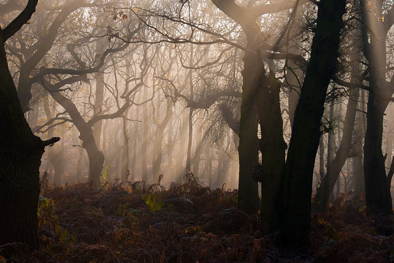
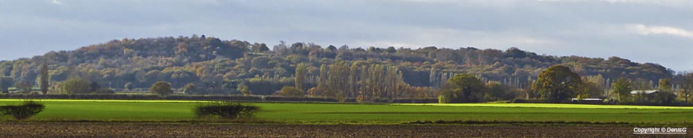
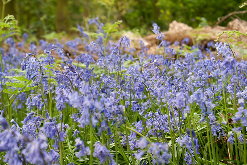
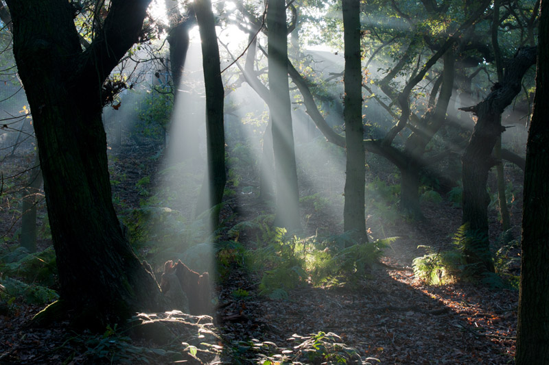
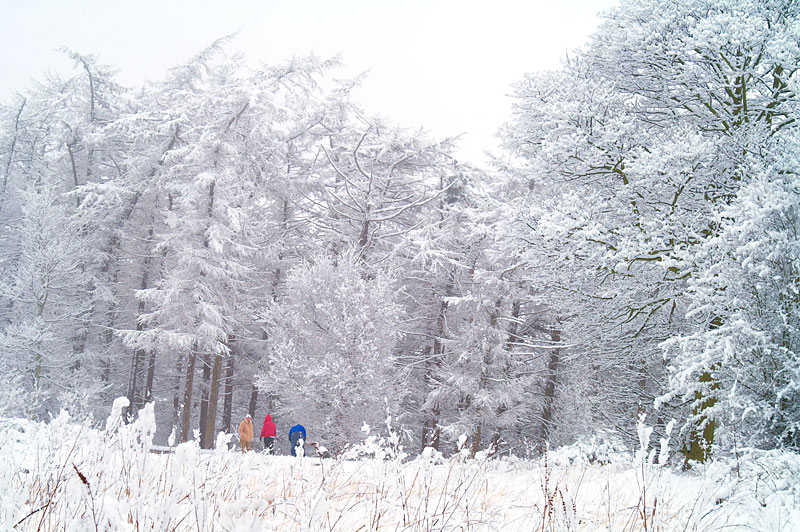
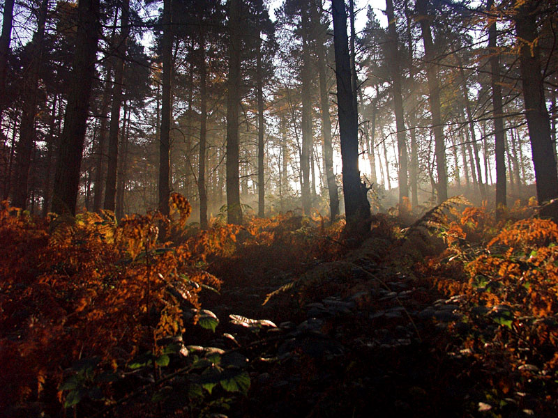
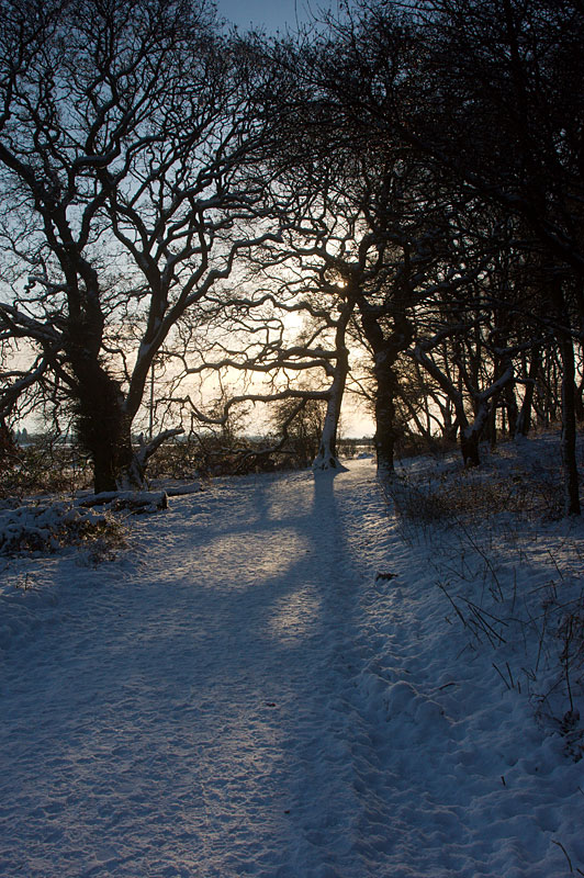
Please remember that the site is still under construction and things will inevitably change. The Photographs shown above are all “In Barff” shots and you can click on them to see a larger version.
A Few Points to Ponder.
The Pump House.
In 1906 Selby Abbey burned down, there was insufficient head of water to allow the pumps to reach the Abbey Roof.
The site of the PH had been a major supply of water since 1853.
PH was started in 1907 and completed and opened in 1908 by the Earl of Londesborough and Councillor Scott.
Councillor Scott represented Selby at Parliament to prevent the area being used as a sewage works.
The PH was much larger originally due to the use of steam pumps and the site also hosted a large brick chimney because of this and was "Tastefully designed and built to avoid spoiling Barff views"
The two towers were necessary to provide enough height to lift the steam pumps, designed by James Watt, out of the boreholes for maintenance. The domes were formed from concrete to support the weight.
Part of the building was demolished when electricity took over from steam.
Brayton Barff
Around 150ft above sea level at highest point.
Thought to originate from the old English word Bargh meaning Barrow, or Baragh meaning a horse trail up a steep hill.
Legend says two witches, one at Brayton, one at Hambleton formed the Barff and Hough by throwing clods of earth at each other.
General opinion is deposits left by glaciers during the Ice Age.
There is evidence of stone age burials, flint axes have (allegedly) been found here.
In 1789 the Barff was "totally consumed by fire" due to farm serfs burning weeds. Many folk were injured and ill for some time afterwards. See The Fire.
Legendary well on top of the Barff, now buried by the reservoir, was known as the Fairy's Pin Well. Lovely little story. See Fairy Pin Well.
The well was re-dedicated by the Abbot of Selby at some point to become the Well to Our Lady.
Rhyme from "A Yorkshire Dialogue" circa 1697:
"If Brayton Bargh, and Hambleton Hough
and Burton Bream
Warr all in thy belly, it would
neer be team"
The Barff was used as a beacon point in 1803 when threatened with invasion by Napoleon.
The Earl of Londesborough obtained the land in 1854 from E.R. Petre. Supposedly gifted to Selby Council for the enjoyment of the locals. Auctioned in 1913 as 'a site for a residence'. Supposedly gifted to Selby by the Earl but I would like to see archives to prove this.
May 1935 was celebration point for George V's silver jubilee. Big bonfire on Barff
Military camps during both wars. POW camp in ww2. Some evidence still remains in the far south western corner of the Barff. It was called Sandbeds Camp.
In the very hot summer of 1976, Yorkshire Water installed a water tap on the hill from the car park to the reservoir at the top, which was known as the "tap on't tap 'ill", hence now known as Tap Hill. The source point is still there if you know where to look.
If you know any additional snippets of information please drop us an email and we will credit it with your name as a thank you.
Click on photo’s to see larger version